We use the latest geospatial technology and analysis techniques to complete high-impact projects across a diverse spectrum of domains.
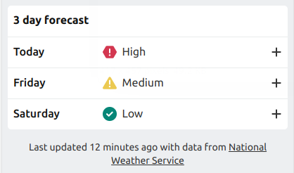
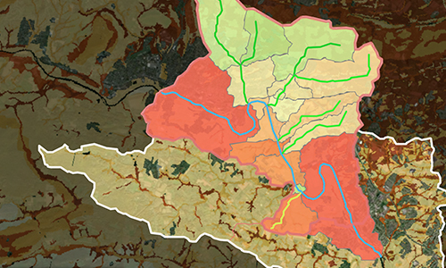
Using real-time data to convey landslide risk level and prevent future fatalities
A research group used GroundWork to help them identify mosquito populations and prevent malaria transmission
Modernizing FieldScope: A platform to allow participants of all ages to collect, visualize, and share data
Translating complex data from Excel to a user-friendly web-based application
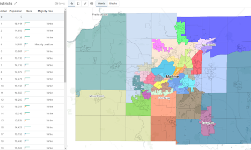
DistrictBuilder puts the power of drawing electoral maps in the hands of the people.
This dual-purpose app allows students to use game-like tools and scientists to use advanced hydrologic models to discover how changes in the environment affect watersheds.
Supporting efforts to better understand agricultural patterns across Africa
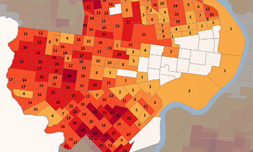
For nearly ten years, we have created an annual report that describes the impact of utility and housing assistance provided by the Utility Emergency Services Fund.
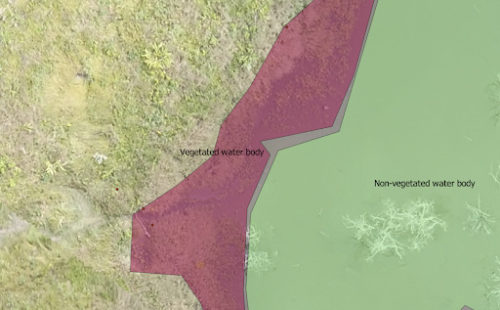
An open source Python framework for building computer vision models on aerial, satellite, and other large imagery sets.
Subscribe to learn more about the state of the art in technology and data analysis.