Process
Turn your data into an asset. By formatting, processing, and geocoding your data we'll help you unearth the unexpected.

Visualize
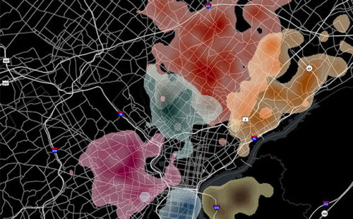
Use data-driven stories to advance your mission, serve your audience, and raise your profile with tools like CARTO, Mapbox, and ArcGIS Online.

Analyze
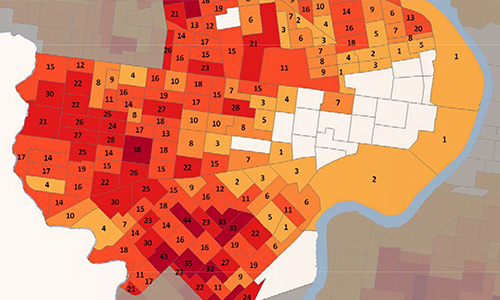
Develop insights and make confident conclusions using spatial analysis, and open-source tools like GeoDa, R, and QGIS.

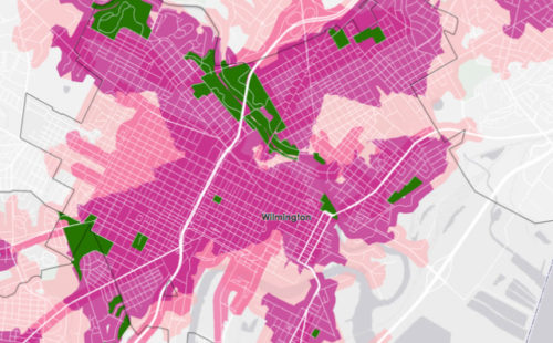
Map
Empower your organization and the communities you serve with thoughtful maps that can communicate complex ideas.

Service Packages
Know you need spatial analysis but aren’t sure where to start? Azavea’s service packages will help bootstrap your organization’s data and leverage our experience with popular and robust spatial analysis techniques.
Looking for insights in your geographic data? We should chat.
Fellowships
Summer of Maps is a three-month long fellowship giving student GIS analysts the opportunity to perform geospatial data analysis for local and national non-profit organizations. Fellows work closely with a mentor while being trained to use the most current GIS practices and systems in real-life contexts. Apply at summerofmaps.com
Learn MoreGet Involved

From documented research that supports data analysis results to the development of open source tools like DistrictBuilder, we are a leader in political data analysis.
See our redistricting workLearn about the power of geography with our educational webinars that feature tools to analyze and visualize data.
Check out our Youtube ChannelBlog
Geospatial analyses, visualizations and initiatives that serve our communities.
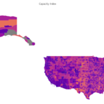
A Tool to Highlight Underfunded and Under-resourced Communities: A Peek Behind the Technical Curtain of Headwaters Economics’ Rural Capacity Index
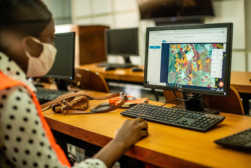
Machine Learning to Drive Urban Resilience: Mapping Tree Canopy with the World Bank