Skip to content
Azavea
  • What We Do
  • Research
  • About
  • Blog
  • Careers
  • Contact Us
Photo of California roads and mountain range in the background.

Spatial Analysis

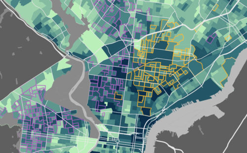
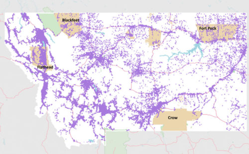
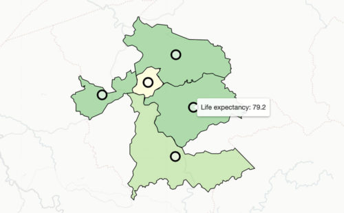
Local Redistricting is Transforming California Cities

By Luke McKinstry on February 27th, 2020

Redistricting is happening across cities in California in an effort to make representation more equitable. View our map to see where this is happening and why.

Spatial Analysis

Housing & Landlords: Using Open Data to Find Substandard Conditions

By Fay Walker on September 26th, 2019

Using R and QGIS to analyze substandard housing in Philadelphia with open data. We used open data to identify violations, evictions, and illegal rentals.
Map highlight Native American areas that have been geocoded.

Spatial Analysis

Putting Native American Voters on the Map: Using Cadastral Data to Geocode Non-Traditional Addresses

By Fay Walker on September 12th, 2019

We used cadastral land survey data to geocode previously unmappable Native American voters in Montana.
Screenshot of application charts and map.

Software Engineering

MUB Monitor: Helping Water Utilities Track and Respond to Upstream Threats

By Fernando Ramirez on June 3rd, 2019

In partnership with Downstream Strategies, we created MUB Monitor - a comprehensive GIS-based tool that helps water professionals track spills, assess watershed threats, and make informed decisions.
Crop of an interactive map showing census blocks in West Virginia with the life expectancy of one highlighted.

Spatial Analysis

Analyzing Spatial Patterns in Life Expectancy with Python

By Simon Kassel on May 2nd, 2019

All around the country boundaries separate neighborhoods with high and low life expectancy. We used python to find the most extreme examples.
Districts of Philadelphia overlaid on top of a photo of a child swinging with the sky and playground in the background.

Spatial Analysis

Scoring Philadelphia’s City Council Districts for Children’s Health and Well-being

By Daniel McGlone on April 16th, 2019

Scoring Philadelphia City Council districts on assets and risks using a weighted spatial analysis model in R and Python.
  • Previous
  • 1
  • 2
  • 3
  • 4
  • …
  • 10
  • Next
azavea-logo-white
990 Spring Garden,
5th Floor
Philadelphia, PA 19123
(215) 925-2600
Contact Us

Company

  • About
  • What We Do
  • Research
  • Careers
  • Blog
  • Press

Services

  • Software Engineering
  • Data Analytics
  • User Experience Design
  • Big Data Processing
  • Machine Learning
  • R&D

Newsletter

Stay in touch, spam-free. Sign up
Terms of Use • Privacy Policy • Directions
© 2023 Azavea