
Earlier this month, a cohort from Azavea presented, exhibited, and attended talks at FOSS4G NA in St. Louis.
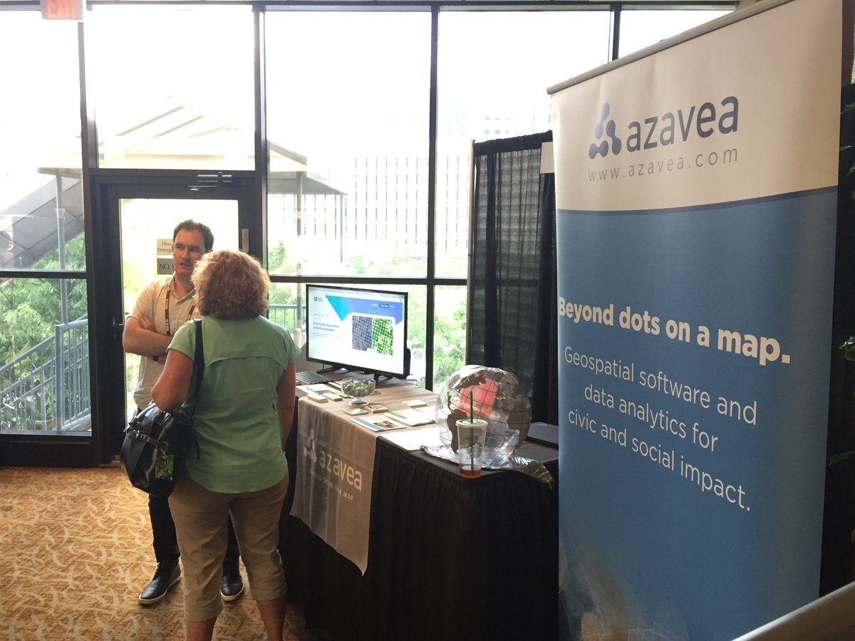
400+ open source users, contributors, and enthusiasts gathered for more than 120 presentations. Three days of talks were followed by a Community Day, including a Code Sprint.
Presentation highlights
Our staff presented on various topics, including deep learning on satellite imagery, Cloud Optimized GeoTIFFs, using Apache Spark and GeoTrellis to work with OpenStreetMap data, and creating an environmental inventory application using open source.
Check out slides for the talks below.
Raster Vision: Deep Learning for Aerial and Satellite Imagery from Lewis Fishgold
We were also excited to see talks that highlighted our open source projects like GeoTrellis. This is what FOSS4G is all about; community collaboration to drive innovation. Click on a title to learn more about the talk.
- Machine learning, FOSS, and open data to map deforestation trends in the Brazilian Amazon.
- RasterFrames: Enabling Global-Scale Geospatial Machine Learning
- Contributing Every Day: How I Made a Career working with OSM
- Building an Image Processing Pipeline at Scale using Open Source (sponsored by Boundless)
Machine Learning After Party
Birds of a Feather events are a great way to share ideas. Since machine learning for geospatial analysis is a hot topic industry-wide, we partnered with The Climate Corporation, Astraea, and DevelopmentSeed to host an enhanced Birds of a Feather event.
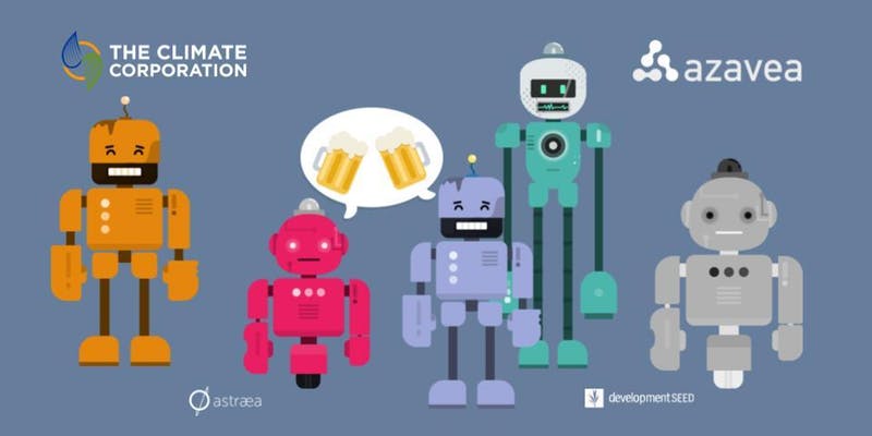
Special thanks to Mike Jeffe from The Climate Corporation and Thea Aldrich and Anne Jacko of The Eclipse Foundation for their help organizing the event and accounting for all the little details.
During the event, presenters told us about their work and let the FOSS4G community know where they think the trajectory of this type of work is going.
Thanks to the speakers for giving the audience great conversation fodder!
- Keely Roth & Pramithus Khadka, The Climate Corporation
- Rob Emanuele, Azavea
- Daniel Bailey, Astraea
- Drew Bollinger, DevelopmentSeed
- Martin Mendez-Costabel, Monsanto
Thanks to @climatecorp @AstraeaInc @developmentseed @EclipseFdn @locationtech for an awesome time at the Machine Learning After Party at #FOSS4GNA pic.twitter.com/bRfA0Mepc0
— Element 84 (@Element84) May 16, 2018
A “consequential” keynote
Chris Holmes, a fellow at Planet Labs, gave a keynote to a captivated crowd called, Towards a Queryable Earth, centered on the trajectory of geospatial technology innovation. He outlined the problem (“an exponential explosion of data”) and the solutions he sees as having the greatest potential (computer vision and machine learning on imagery, SpatioTemporal Asset Catalog, Cloud Optimized GeoTIFFs (COGs), etc).
To be clear, @opencholmes just gave the most consequential #geospatial tech talk of the decade @foss4gna. #FOSS4GNA @planetlabs @opengeospatial pic.twitter.com/bmKZrl2hWi
— Christopher Tucker (@PLANETucker) May 16, 2018
During his talk, Chris narrated a high-level walkthrough of Raster Foundry, showcasing an example of leveraging the power of COGs for imagery analysis.
.@opencholmes giving a run down of @rasterfoundry during the keynote at #FOSS4GNA, showing the model lab interface and highlighting cloud optimized GeoTIFF support. pic.twitter.com/y2canewkuS
— Element 84 (@Element84) May 16, 2018
Till next time
We enjoyed FOSS4G NA and value the face-to-face community interaction that conferences enable. We appreciate the hard work of Eclipse Foundation and LocationTech staff, the FOSS4G NA organizing committee, and volunteers to create an opportunity for our team to connect with others in our field.