
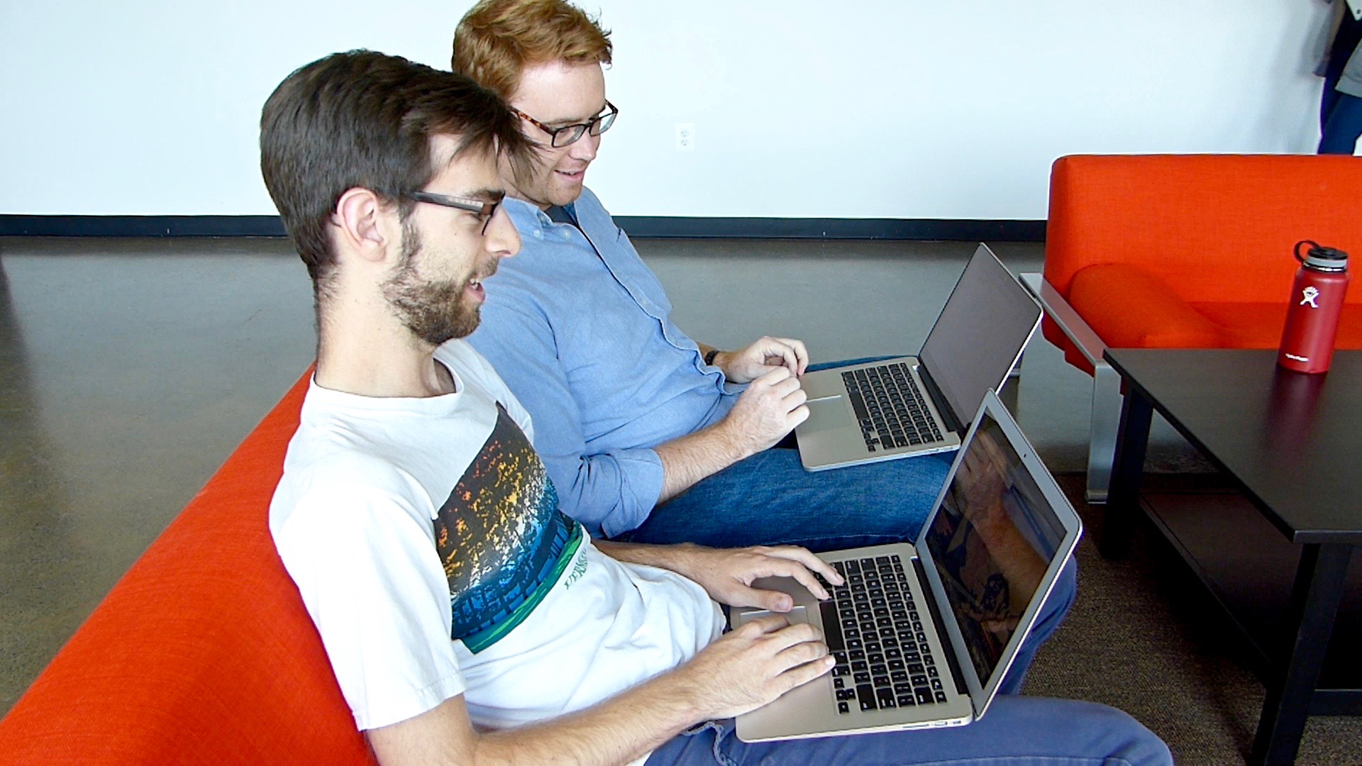
Azavea’s annual summer fellowship program, Summer of Maps, just wrapped up its 5th year. Started in 2012, the Summer of Maps program provides geospatial data analysis services grants to non-profit organizations for social impact projects by connecting them with students and mentors.
Program Timeline
Although Summer of Maps fellows complete project work for 12 weeks during the summer, the program is a year-round operation.
Early in the year, the Azavea Data Analytics team reviews nonprofit project proposals and selects a shortlist of projects that meet data requirements, have challenging spatial analysis and geographic visualization needs, and will contribute meaningful impact for the nonprofit organization.
Student applicants submit their materials in late winter and candidates are interviewed by the Azavea Data Analytics team in the spring. Qualified students are selected based on their skills and their desire to learn and grow a career in GIS and data analysis. The top candidates are matched with challenging and meaningful projects and awarded a $5,000 fellowship.
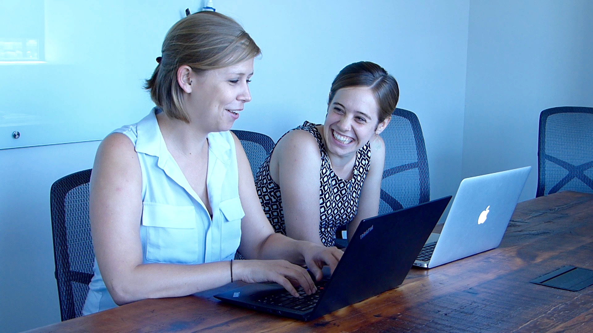
Starting in the summer, each fellow develops two different nonprofit projects. The fellows are paid a stipend for their work, in addition to the opportunity to learn from mentors and Azavea staff members.
Helping Six Nonprofits
2016 Summer of Maps fellows completed projects for non-profit organizations involved in a wide range of mission-driven topics.
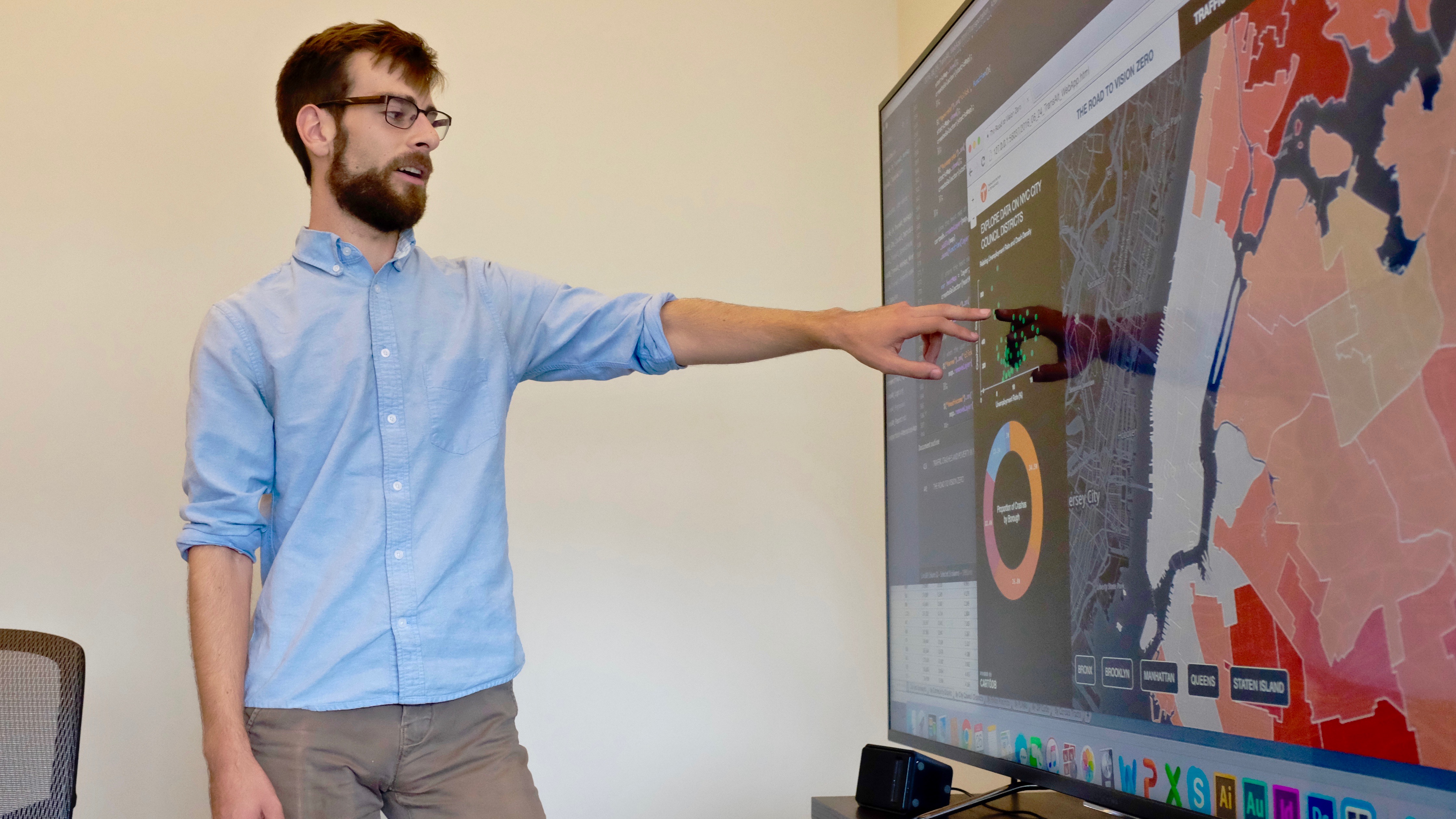
Parker Ziegler
Transportation Alternatives, The Road to Vision Zero: Traffic Crashes and Poverty Level in New York City
Ecotrust, Ongoing Change in Portland’s Urban Forest Canopy
Annaka Scheeres
Chemical Heritage Foundation, A Visualization of National, Regional, and Local Air Quality in the U.S.
American Red Cross, Identifying Priority Communities for West Africa Health Interventions
Carlos Bonilla
The Bicycle Coalition of Greater Philadelphia, Fatal Road Crashes and Equity
The Food Trust, Defining Context and Presence: Food Access in Philadelphia
Past projects have involved analysis in categories like arts & culture, community & economic development, elections & civil rights, environment, sustainability & ecosystems, public health & food, public safety, and transportation.
A Rewarding Experience
Each project is centered on developing skills in GIS analysis and cartography, while also requiring fellows to build project management and public speaking chops. Some projects also demand heavier statistical analysis with R, satellite imagery classification, advanced cartographic design, and web-mapping.
Carlos Bonilla, a recent Temple University graduate with a degree the Geography and Urban Studies and a GIS Certificate, expanded beyond technical learning. “I learned a lot about time management and project management skills and it also taught me how to effectively prioritize different tasks,” Bonilla said of his time as a 2016 Summer of Maps fellow.
Former Summer of Maps fellow and current mentor, Tyler Dahlberg, explained that Summer of Maps allowed him “the ability to take the skills that [he] learned all throughout school, and to solve real problems for real people.”
He also described his current experience as a mentor: “I get to help students improve their project management skills [and] improve their business acumen.”
Impact of the Program
“Being a mentor is a really rewarding experience.” said Daniel McGlone, Senior GIS Analyst and Cicero Data Manager, who has been a mentor for Summer of Maps fellows since the first year of the program.
Daniel enjoys “getting to work with a variety of different nonprofits with really interesting projects that we otherwise wouldn’t get to work on.” He continued, “We also get a chance to work with diverse students from different backgrounds and different parts of the country.”
“It’s a really good all around experience as a mentor to give back and try to share my experience and my knowledge with fellows, and learn a ton from them at the same time,” McGlone commented.
Annaka Scheeres, a 2016 Summer of Maps fellow, explained the rewards of completing work for non-profits: “One thing that I think really stands out about Summer of Maps is that a recent college graduate is able to do work that is actually having a really positive and important impact on the world.”
The fellows helped non-profit organizations accomplish an analytical project that will enable them to make decisions based on the data. “[Summer of Maps] helped my organization to see the potential of an idea and follow it through,” said Charles McGhee Hassrick, Digital Projects Manager at the Chemical Heritage Foundation.
“From a materials and resources perspective, it’s going to help them get grants and help them get in front of members of local government.” Parker Ziegler, 2016 Summer of Maps fellow, explained.
He elaborated on the impact of his project work on the non-profit organizations:
“It’s also going to have a bigger long-term effect on how they tell stories with their data.”
Participate in Summer of Maps
We’re really proud of what we’ve accomplished in the first five years of Summer of Maps.
Are you a non-profit organization that can respond to an important issue by conducting spatial data analysis?
Are you a student that’s looking to grow professionally in a GIS analytics career?
Are you interested in helping us grow the program by sponsoring one or more fellows?
Keep an eye out for open application dates later this fall and reach out to us with questions about the program!