
What’s inside
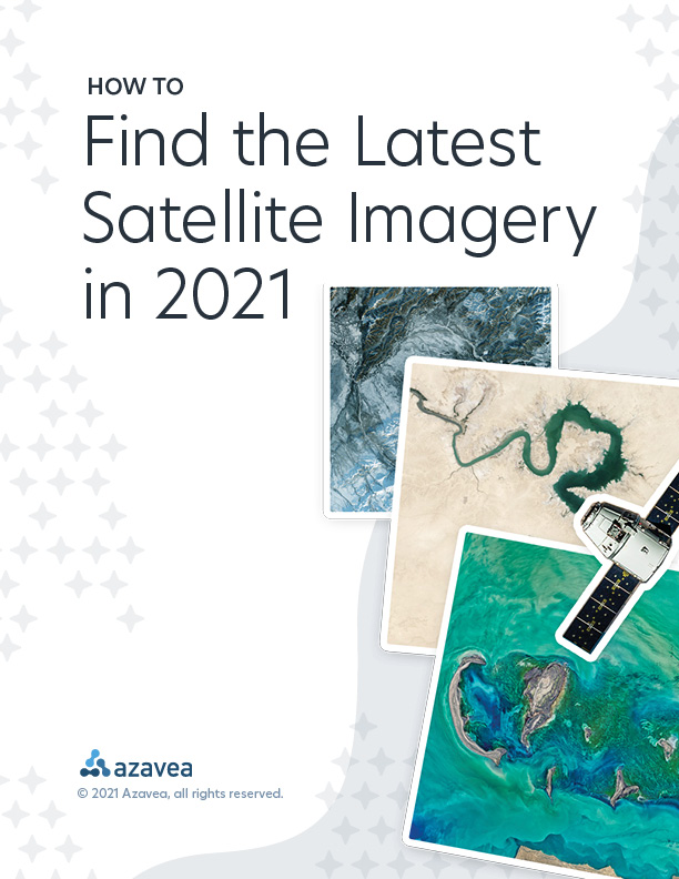
In our latest white paper, we expand upon one of our most popular blog posts—newly updated for 2021! You’ll find valuable insights from our years working with geospatial imagery. Get access to analysis of various providers, a decision-support tool, insider tips, and suggestions based on experience. Find the latest, most relevant satellite imagery for every use case!