Skip to content
Azavea
  • What We Do
  • Research
  • About
  • Blog
  • Careers
  • Contact Us

Featured Posts

Software Engineering

Cloud Detection in Satellite Imagery

By James McClain on February 8th, 2021

Company

This Month We Learned — February 2021

By Casey Cesari and James Santucci on March 25th, 2021

  • All Categories
  • Company
  • Spatial Analysis
  • Events
  • Software Engineering
  • Design
Graphic with two speech bubbles overlapping. One speech bubble has a light blue Mastodon logo in it, and the other speech bubble has the light blue Twitter logo in it.

Company

Selecting a Geospatial Mastodon Server for Individuals and Businesses

By Robert Cheetham and Sara Mack on November 29th, 2022

At Azavea, interacting with and contributing to the geospatial community is a perpetual highlight of our work. For many years,...
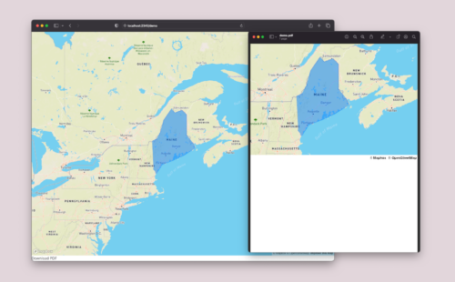
A demo of a MapBox map, showing a map of New England with Maine highlighted, as a PDF is depicted on a light purple background.

Software Engineering

How to print a MapBoxGL.js map to a PDF in React

By Casey Cesari on November 21st, 2022

To generate a printable document that is well-formatted, we break down the implementation process to print a Mapbox map to a PDF in React.
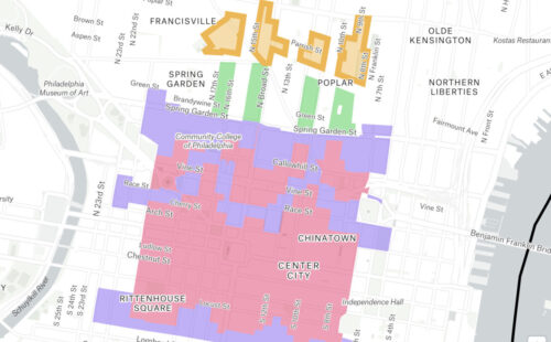
An image of a birthday cake is depicted with a configuration of counties from DistrictBuilder.

Software Engineering

The Bread and Butter of Software Development: Informing My Learning Through Professional Baking

By Rachele Morino on November 15th, 2022

Azavean Rachele Morino outlines her career transition from baking to software engineering, and where the two professions overlap.

Software Engineering

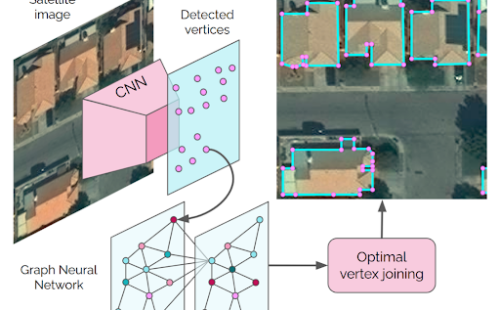
Automated Building Footprint Extraction (Part 3): Model Architectures

By Lewis Fishgold on November 9th, 2022

Reviewing model architectures for building footprint extraction including naive approaches, model improvement strategies, and recent research.

Software Engineering

Automated Building Footprint Extraction (Part 2): Evaluation Metrics

By Lewis Fishgold on November 1st, 2022

In the second part of our Automated Building Footprint Extraction series, we review some evaluation metrics for building footprint extraction.
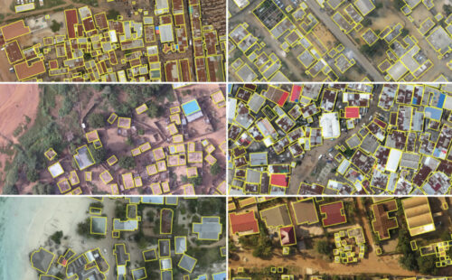
A grid of 6 aerial images with buildings outlined with yellow boxes.

Software Engineering

Automated Building Footprint Extraction (Part 1): Open Datasets

By Lewis Fishgold on October 26th, 2022

In the first installment of this three-part blog series, we summarize some of the latest research on automated building footprint extraction.
  • Previous
  • 1
  • 2
  • 3
  • 4
  • …
  • 129
  • Next
azavea-logo-white
990 Spring Garden,
5th Floor
Philadelphia, PA 19123
(215) 925-2600
Contact Us

Company

  • About
  • What We Do
  • Research
  • Careers
  • Blog
  • Press

Services

  • Software Engineering
  • Data Analytics
  • User Experience Design
  • Big Data Processing
  • Machine Learning
  • R&D

Newsletter

Stay in touch, spam-free. Sign up
Terms of Use • Privacy Policy • Directions
© 2023 Azavea

Subscribe to learn more about the state of the art in technology and data analysis.

Subscribe