Skip to content
Azavea
  • What We Do
  • Research
  • About
  • Blog
  • Careers
  • Contact Us
Map tiles of of Porcupine Caribou Herd Calving Areas over several years

Spatial Analysis

Digitizing Maps Using Remote Sensing Techniques in ArcMap and R

By Xiao Wu on October 12th, 2018

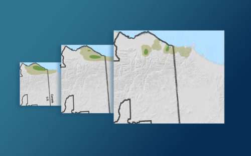
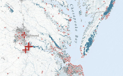
Learn how to use image processing and remote sensing techniques in R and ArcGIS to digitize spatial data from image or PDF files.
Crop of final map

Spatial Analysis

Evaluating Machine Learning Models in R: Predicting Marine Debris

By Xiao Wu on October 8th, 2018

Evaluating machine learning models in R with a focus on how to handle biased and imperfect data, specifically volunteer collected marine debris data.
azavea-logo-white
990 Spring Garden,
5th Floor
Philadelphia, PA 19123
(215) 925-2600
Contact Us

Company

  • About
  • What We Do
  • Research
  • Careers
  • Blog
  • Press

Services

  • Software Engineering
  • Data Analytics
  • User Experience Design
  • Big Data Processing
  • Machine Learning
  • R&D

Newsletter

Stay in touch, spam-free. Sign up
Terms of Use • Privacy Policy • Directions
© 2023 Azavea