Skip to content
Azavea
  • What We Do
  • Research
  • About
  • Blog
  • Careers
  • Contact Us

Spatial Analysis

Preparing Data for MaxEnt Species Distribution Modeling Using R

By Dale Watt on October 9th, 2018

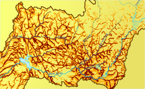
How to use R to turn disparate environmental data into clean, usable raster data that can be fed into a MaxEnt species distribution model.
Magnifying glass that reveals data on aerial map

Spatial Analysis

Geospatial Analysis of Utility Insecurity in Philadelphia

By Dale Watt on September 19th, 2018

An analysis of areas vulnerable to utility insecurity completed for the Legal Clinic for the Disabled as part of the Azavea Summer of Maps program.
azavea-logo-white
990 Spring Garden,
5th Floor
Philadelphia, PA 19123
(215) 925-2600
Contact Us

Company

  • About
  • What We Do
  • Research
  • Careers
  • Blog
  • Press

Services

  • Software Engineering
  • Data Analytics
  • User Experience Design
  • Big Data Processing
  • Machine Learning
  • R&D

Newsletter

Stay in touch, spam-free. Sign up
B Corporation logo.
Terms of Use • Privacy Policy • Directions
© 2021 Azavea