
Over the past
Our technical support for CHPA covers tasks related to data workflows and processes, organization, and collection and creation. Open source tools and open data are a unifying thread that runs through each step of the project. In particular, our work with IDB relies on OpenStreetMap (OSM), a free and open map of the world. This focus is a goal of IDB, but also something that we at Azavea strongly support. We have a long history of work in the open source and OpenStreetMap realm, including projects that have an international focus such as DRIVER with the WorldBank to track and reduce traffic crashes, calculating the completeness of OSM building data for health analytics with DevSeed, and measuring how many people live within 2km of an all-season road in support of Sustainable Development Goal (SDG) 9.1.1. So what is the appeal of OpenStreetMap and open source in the context of international work?
Why OpenStreetMap?
OpenStreetMap is a map of the world that can be edited and used by anyone, provided it adheres with the OSM data license. OSM data can be downloaded and used by analysts or designers and is a primary data source for many of the
These features make OSM an excellent resource for countries or organizations that need to supplement their internal GIS data. They can organize a local community of mappers and host a
How we are using OSM with IDB
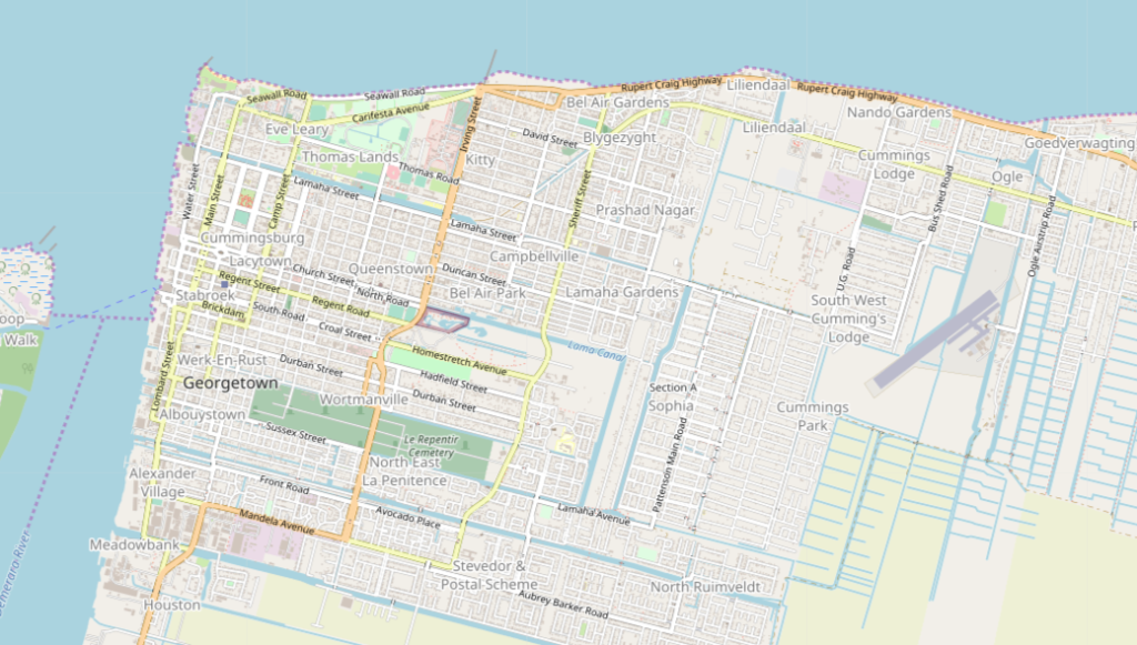
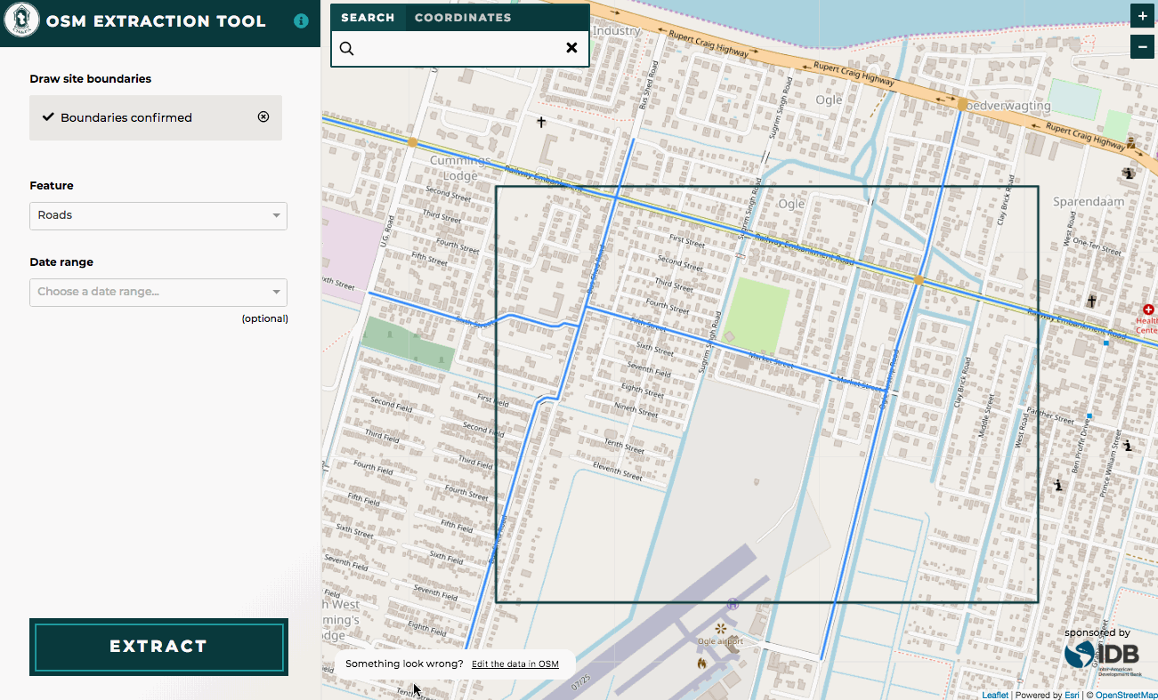
IDB and CHPA wanted to supplement CHPA internal GIS data with OSM data. There are many ways to query and download OSM data but they often require a detailed knowledge of the OSM XML tagging structure. Azavea built an OSM data extraction tool on top of the Overpass API that takes the guesswork out of what data to download and allows users to preview the data that was downloaded prior to opening it in
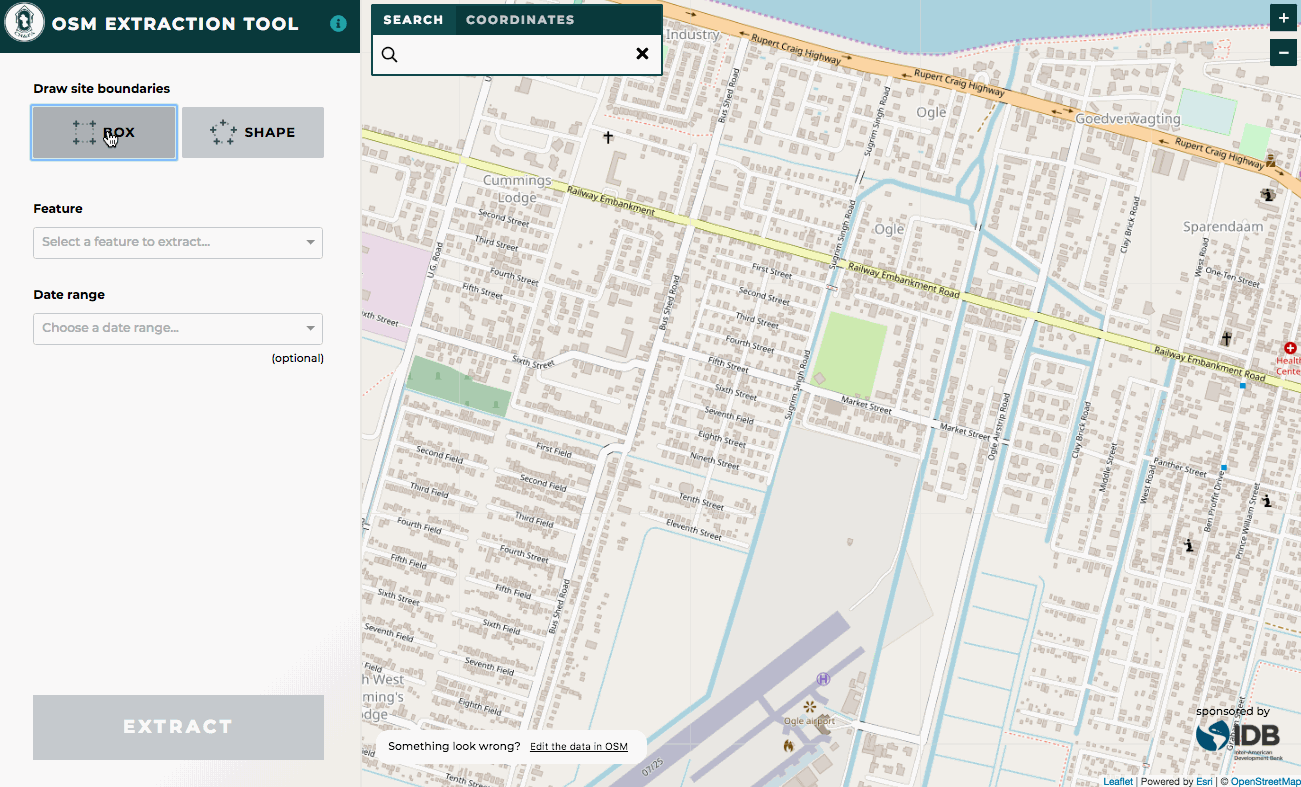
The tool provides a link directly to the map extent in OSM if a user notices any incorrect data and wants to edit it right away. It also converts the files into GeoJSON format rather than the standard .osm or .pbf OSM files. GeoJSONs are a more standard format for doing GIS work. The data available to download is based on a set of predefined tags and values that was supplied by IDB.
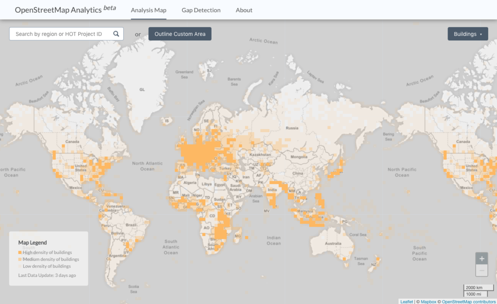
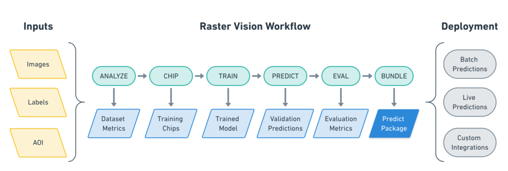
Azavea is also conducting a machine learning pilot with IDB to identify buildings in South American cities using
Our work with IDB and CHPA is still underway but will include a few more items related to OSM and open source tools. We’ll be outlining a workflow for conflating the data accessed through the OSM extraction tool with CHPA’s internal GIS data. To support a more complete OSM map and easier and better collection of data in the field, we researched and set up a test implementation of OpenDataKit with OpenMapKit. We will demo these tools to CHPA and provide training for how to set up and implement a survey.
Do you have ideas or needs around using OSM to support GIS work? Reach out so we can partner together.