
Azavea has a rich history of productizing our research: from forecasting crime to managing green infrastructure in cities to aggregating elected official data. One of the primary reasons that I love working here is our ongoing commitment to supporting research that translates directly into civic and social impact (typically by making complex analytical tools approachable for the lay audiences that need them most).
But perhaps the most long-standing and active area of research for the company, processing geospatial data at massive scale, has remained conspicuously inaccessible to a mass audience. The truth is that most organizations lack the combined technical capacity in geospatial analysis, distributed computing, and functional programming to take full advantage of the incredible power of open source tools like GeoTrellis that we have been working on for years.
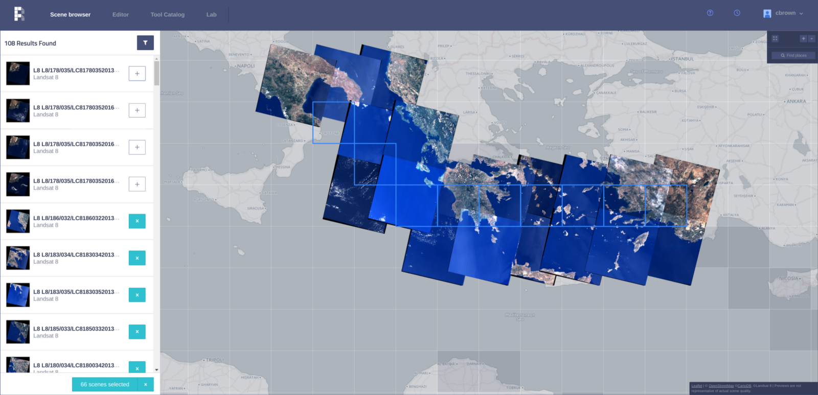
Raster Foundry is a web app and API that helps anyone find, combine, and analyze geospatial data at any scale, and then share it on the web.
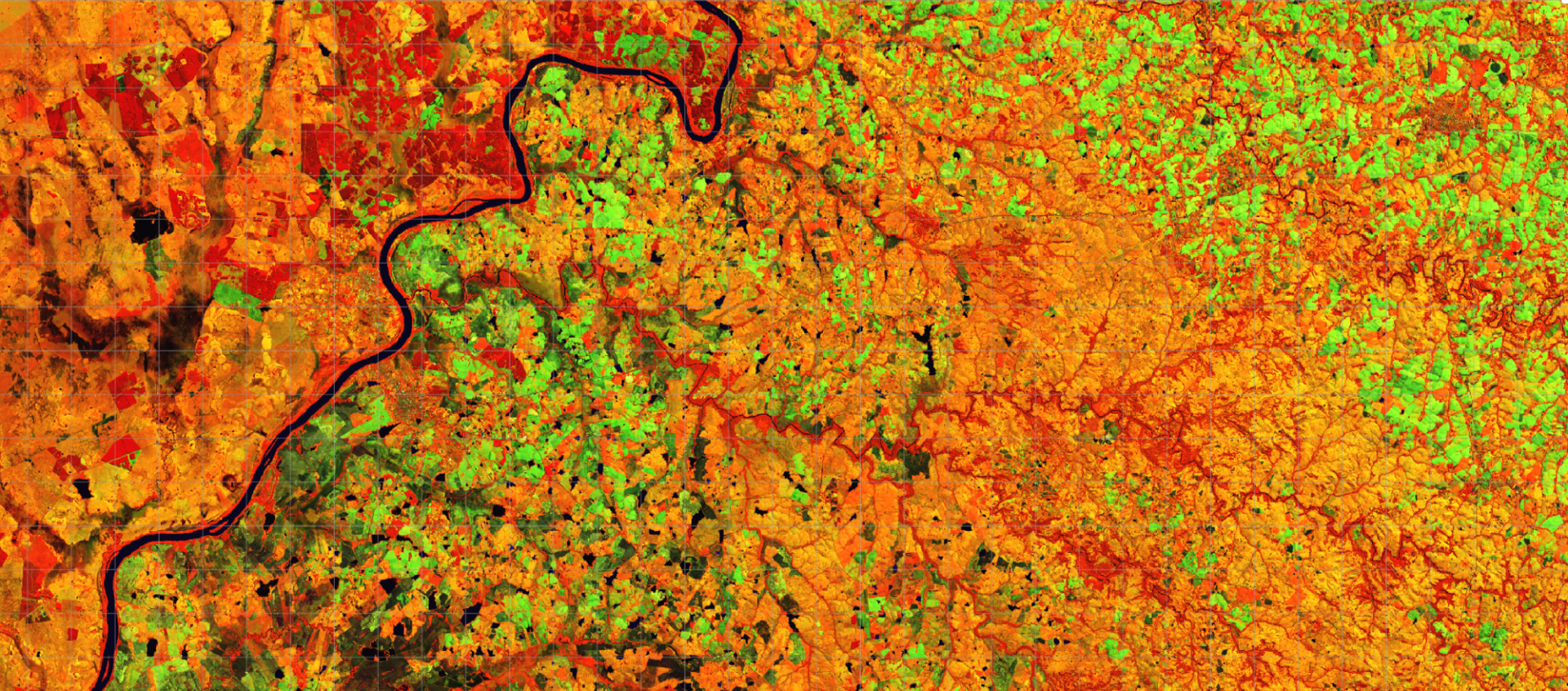
We have a simple thesis: working with earth observation data — from satellites, drones, planes, or anywhere — is incredibly challenging, but it doesn’t have to be. By packaging high performance computation, familiar analytical tools, and a trove of open data into one common interface, we think there’s potential to unlock vast amounts of latent value buried in cumbersome earth observation data.
Raster Foundry started a few years ago as an exploration into the possibilities of developing a web-based, earth observation (EO) platform. With some seed funding from SBIR grants from both NASA and the Department of Energy, we narrowed down what a cloud-based Earth Observation product could look like, who could use it, and what challenges in building one. The Raster Foundry team has been building custom geospatial applications at scale on the web for more than a decade and we are now applying that work and experience to Raster Foundry.
https://www.youtube.com/watch?v=WOg0ob_lrBE
At its core, Raster Foundry is about giving access to EO analysis to those who otherwise would not have it. Existing tools are complicated, costly, and do not scale with the amount of data being produced by the rapidly increasing number of satellites and drones. Raster Foundry helps existing GIS software scale faster, analysts iterate more quickly, and users share their results more easily.
https://www.youtube.com/watch?v=604FrIKdiCw
Over the next few months Raster Foundry will begin a private beta with its first set of users on projects to leverage Raster Foundry. Some of these projects (check out Radiant Earth) will be using our API to integrate with existing applications, others will take advantage of Raster Foundry’s Lab interface to craft advanced remote sensing algorithms — some will use both.
To stay up-to-date with current work follow the product blog or follow us on Twitter as we highlight uses and features of Raster Foundry.