
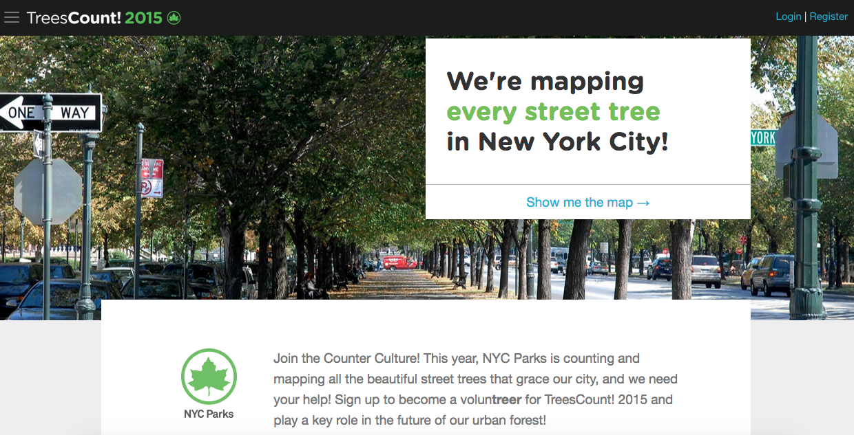
Every day is a great day to celebrate trees, but on the last Friday in April, our hardworking urban forests get the attention they really deserve. Today, on Arbor Day, we’re excited to announce the launch of TreesCount! 2015, the NYC Parks‘ initiative to map and catalogue every street tree in New York City using a web application developed here at Azavea.
NYC Parks has compiled info on every street tree in all five boroughs every ten years since 1995. With more than 600,000 trees to map, this year’s census is no small task. How do you gather vitally important data about that many trees in just a few months while ensuring it’s as accurate as possible? Get tree loving New Yorkers to help! NYC Parks is partnering with civic and neighborhood groups and encouraging members of the public to become “voluntreers” who will join Parks’ staff in counting trees throughout the city.
Azavea’s task was to build the web application that would enable volunteers to learn more about the census, sign up for mapping events, and log data about the trees via smartphones and tablets while also providing NYC Parks with the tools to review data and coordinate mapping activities. The resulting TreesCount! 2015 software is an open source application that includes:
- A map to view the ongoing progress of the census
- A training system to provide users with the info they need to accurately gather tree data
- Group and event pages where volunteers can learn about community organizations and RSVP for tree mapping events
- A reservation system for checking out block edges for mapping
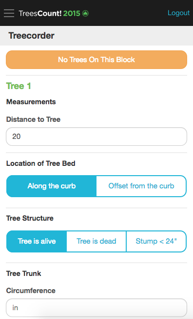
- The Treecorder application for entering data about each tree
- Administrative tools to ensure the census includes trees in all parts of the city and results in accurate data
Volunteers will map the trees using a method developed by TreeKIT, a non-profit group focused on community involvement in urban forestry. Based on centuries’ old surveying techniques, volunteers using the TreeKIT mapping method select a block edge segment and use measuring wheels to accurately log the distance between intersections and trees. Those distances are translated into geographic coordinates that accurately identify the tree’s location. We expanded the initial TreeKIT mapping application into the new Treecorder, a responsive web application that enables volunteers to efficiently and accurately enter tree data via their mobile devices.
The work on TreesCount! 2015 aligns well with Azavea’s other urban forestry related projects, particularly OpenTreeMap (OTM) – the subscription-based platform for collaborative geography-enabled urban tree inventory. OTM encourages the general public to learn more about the trees in their communities by exploring and updating tree data as well as info on green infrastructure features such as rain gardens.
NYC Parks will use the data gathered as part of TreesCount! 2015 to gain a more complete understanding of the current urban forest and plan future street tree plantings, maintenance, and stewardship activities. With an accurate inventory of over 600,000 street trees, NYC Parks can calculate the environmental and economic benefits of the trees and demonstrate why trees truly are worth celebrating every day of the year.
If you’re interested in mapping trees in NYC this summer, visit the TreesCount! 2015 website and sign up to become a trained volunteer, explore the many community groups organizing events, or check out the the mapping progress. Mapping begins May 19!