GeoTrellis 3.0 includes feature additions and improvements that make it easier to read raster data from a variety of formats and sources, and support COG’s.
Introducing WMS and WCS Support for GeoTrellis and Raster Foundry
By Nathan Zimmerman on July 3rd, 2019
Raster Foundry and GeoTrellis now support WMS and WCS standards, enabling streamlined workflows that utilize multiple data sources.

Cloud Optimized GeoTIFF Support in GeoTrellis 2.0 Release
The GeoTrellis project just published the official 2.0.0 release. The most significant change is native Cloud Optimized GeoTIFF (COG) support….
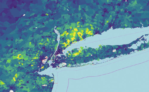
Generating Pyramided Tiles from a GeoTIFF using GeoTrellis
By Terence Tuhinanshu on August 6th, 2018
A tutorial for generating pyramided map tiles (also called Slippy Map tiles) from a GeoTIFF using GeoTrellis, which can be used in Leaflet or OpenLayers.
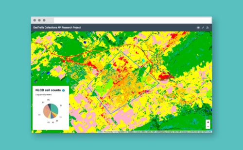
How to Build a Geoprocessing App with GeoTrellis and React
By Kelly Innes on February 13th, 2018
Follow this guide to set up a geoprocessing web application using GeoTrellis, Akka HTTP, and React.
Weighing Scalaz vs Cats Scala Libraries for GeoTrellis
By Colin Woodbury on December 27th, 2017
After a thorough research period that compared the Scalaz and Cats libraries in depth, GeoTrellis has decided to use the Cats library. Find out why…