
This week is the global climate summit in Paris. Sadly, we won’t be there, but over the next two years, we’re going to be doing our part on the climate change front. Azavea is honored to be awarded a Small Business Innovation Research (SBIR) grant from the U.S. Department of Energy. This new $1.5 million research grant is our largest award to date, and it follows a Phase I feasibility grant of $225,000 also awarded by the U.S. Department of Energy to build a prototype for the Climate Impact Assessment Service, a web-based interactive local climate change visualization prototype, for a single city. Under this Phase II grant, we will expand the prototype to support climate change adaptation, management, and mitigation strategies in communities around the world.
We think there are several issues with the way in which climate change data is presented to the public. Here are a couple:
First, it’s not personal enough. The climate change forecasts released every year by the 30+ global modeling research centers are, by definition, global. That’s pretty abstract. People are generally more responsive to personal experience than they are to global statistics. We think climate change risks need to be made more relevant to people’s personal, everyday experience, and this project is going to enable us to develop software tools that will support this.
Second, it should be local. While we might be able to appreciate and perhaps even empathize with the plight of Pacific islands that will be overwhelmed by sea level rise 20 years from now, it’s unlikely to change what we do in our own lives. We treat the local and immediate differently from far-off events that are uncertain. Climate change impacts need to be expressed in a local and specific way. “What will happen in my town in the next ten years, before my kids head off to college?”
We are not going to solve climate change, but with this project we will attempt to tackle these communication and decision-making challenges by leveraging the latest data and software tools. Our Phase I project sought to bridge the gap between research scientists running General Circulation Models (GCMs) at the continental or planetary scale and local decision-makers that are struggling to translate the global data into specific actions they can take to improve resilience to climate-related events in their own communities. GCMs use quantitative methods to simulate the interactions of the atmosphere, land surface, oceans, and sea ice over past or future time periods ranging from hours to years in order to forecast climate change. They also include various scenarios that represent the levels of heat-trapping emissions that will be in the atmosphere over the coming century. Since the size of each cell in a GCM is typically in the order of two to four degrees, the resulting model output is rather coarse, even for large cities. A technique called “downscaling” can generate locally relevant data at finer resolutions that are more suitable for use at the community level.
Through our partnership with the Central Science Team at The Nature Conservancy (TNC), we set out to assemble a subset of GCM-generated forecasts for use in this project. TNC was able to provide 21 forecasts (from each of 21 research teams) that included data in both monthly and daily timeframes. In addition, TNC, through their partnership with NASA, was able to provide access to downscaled data, including 50km and 25km cells. To supplement the climate data, we also evaluated demographic and other relevant data sources that could help users explore the connection between climate and specific populations. The next step was to develop a web-based prototype that could use all of that data to support a better understanding of climate change impacts on local communities.
The sheer scale of computation needed to summarize so many models in both spatial and temporal dimensions and create compelling visualizations of the underlying data required us to significantly expand and re-architect the GeoTrellis framework upon which the Phase I prototype was built. We re-wrote its core distributed processing engine, making a shift from a custom system based on Akka to one based on the Apache Spark project. We also developed a new tile indexing module based on Apache Accumulo. We added support for importing the NetCDF file structure that is specific to climate change data, as well as support for queries and computation of metrics based on raster data that combines both geospatial and time components. These changes have enhanced GeoTrellis not only for climate change calculations, but also for working with other large multi-dimensional, space-time datasets.
While we developed a working prototype for the purpose of assembling feedback and input on the Phase I project, we did not roll this out on a public website. However, all of the modifications to the GeoTrellis source code have been made available to the public through revised documentation on the GeoTrellis web site and the GeoTrellis source code repository on GitHub.
We are super-excited to move forward with Phase II development work, and even more excited about the potential our Climate Impact Assessment Service has for civic and social impact. One of the most compelling features in the Phase I prototype is the ability to explore the connection between extreme weather events and a broad range of primary and secondary impacts that may occur as a result. This feature will be extended in Phase II to include factors such as energy usage, water usage, land use classification, watersheds, public health statistics, and transportation networks. We will also extend the ability to perform comparisons between multiple cities to provide greater context about what to expect in ten, twenty, or fifty years’ time. Cities with similar climate projections can then come together to develop collaborative adaptation or mitigation strategies that will benefit everyone.
The Phase II project will proceed in collaboration with The Nature Conservancy, as well as an expanded advisory team that includes representatives from other climate change-focused organizations such as City of Philadelphia Mayor’s Office of Sustainability, University of Pennsylvania, ICLEI USA, Yale Project on Climate Change Communication, and GoodCompany Ventures.
This project is supported by the Small Business Innovation Research (SBIR) program of the U.S. Department of Energy, Office of Science, Award Number (DE-SC0011303).
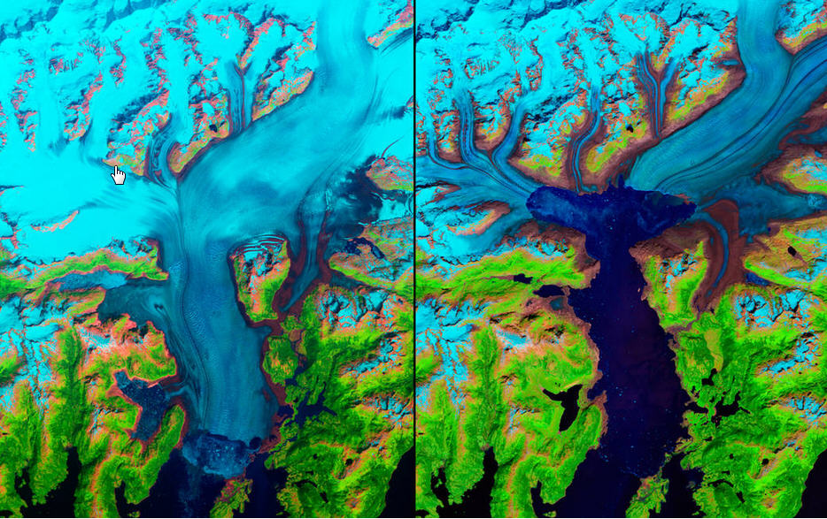
photo: http://www.nasa.gov/image-feature/climate-change-in-alaska