Skip to content
Azavea
  • What We Do
  • Research
  • About
  • Blog
  • Careers
  • Contact Us
Philadelphia Building Footprint tiles with an aerial basemap

Software Engineering

Creating Leaflet Tiles from Open Data using PostGIS and QGIS

By Kelly Innes on October 11th, 2018

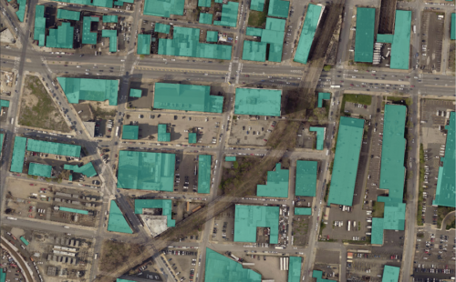
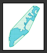
A guide to transforming open geospatial data into slippy map tiles to display in Leaflet or OpenLayers using PostGIS, QGIS, and QTiles.

Spatial Analysis

Measuring District Compactness in PostGIS

By Daniel McGlone on July 11th, 2016

Azavea has a long history of promoting good government through civic technology. This includes our collaborations with the Public Mapping...
azavea-logo-white
990 Spring Garden,
5th Floor
Philadelphia, PA 19123
(215) 925-2600
Contact Us

Company

  • About
  • What We Do
  • Research
  • Careers
  • Blog
  • Press

Services

  • Software Engineering
  • Data Analytics
  • User Experience Design
  • Big Data Processing
  • Machine Learning
  • R&D

Newsletter

Stay in touch, spam-free. Sign up
Terms of Use • Privacy Policy • Directions
© 2023 Azavea