Attachment
2020-09-03_summer-of-maps-gis-us-mexico-border-wall
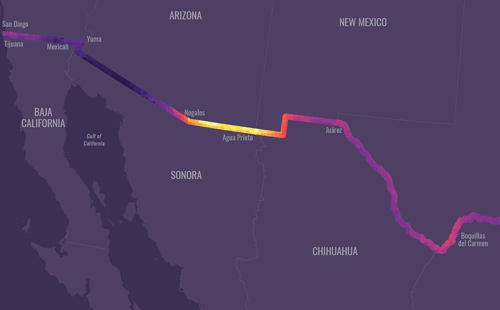
Published at 1000 × 620 in Using GIS to Examine the U.S.-Mexico Border Wall’s Impact on Wildlife
Attachment
Published at 1000 × 620 in Using GIS to Examine the U.S.-Mexico Border Wall’s Impact on Wildlife