What is hyperspectral imagery?
Until recently, imaging satellites used cameras that capture the Earth in a few frequency bands. Multispectral sources typically cover the optical red, green, and blue bands of visible light in addition to a few other frequency ranges.
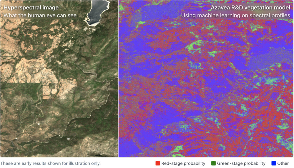
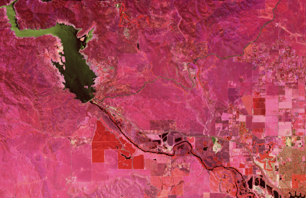
But a revolution is underway. A growing number of satellites equipped with hyperspectral cameras are going to allow us to observe the Earth in extraordinary detail across a large frequency range — well beyond what the human eye can see, and in much more detail than existing multispectral sensors such as Landsat or Sentinel-2.
Hyperspectral imagery enables applications such as tree and plant species identification, monitoring of air quality (particulate and gaseous) and water quality (e.g. algal bloom detection), tree health observation, and more.
Hyperspectral at Azavea
NASA expects to see a major increase in the number of hyperspectral data sets in the coming years. Supported by an innovation research grant from NASA, Azavea created a reusable, open source data processing pipeline for serving and analyzing hyperspectral imagery.