In 2008, The Nature Conservancy, in collaboration with NOAA Coastal Services Center, the Natural Capital Project, the University of Southern Mississippi and the Association of State Floodplain Managers developed a successful Coastal Resilience program using an approach that integrates ecological and socio-economic data to assess coastal hazards. This data was made available through a set of web-based applications that were developed in response to interest in different regions. An initial effort in New York led to additional applications in the Gulf of Mexico, Connecticut and a large section of the New York coast. With this success, additional projects were expected to be developed in a total of nine locations around the world, so The Nature Conservancy turned to our team to build a framework that would enable them to consolidate all of the data and applications into one unified platform.
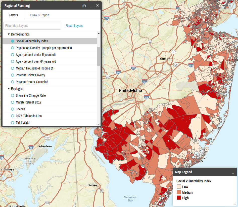
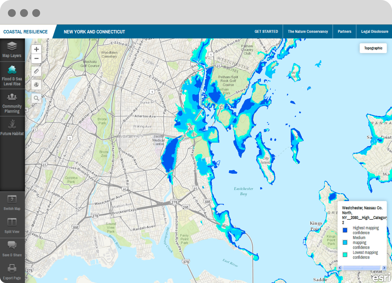
As a result, The Nature Conservancy released Coastal Resilience 2.0, a suite of tools that enables decision-makers to assess risk and identify nature-based solutions to reduce socio-economic vulnerability to coastal hazards. Users are able to interactively examine storm surge, sea level rise, natural resources, vulnerable communities and assets, and to develop risk reduction and restoration solutions.
We released Coastal Resilience 2.0 under an open source license and covers different regions including a U.S. National and Global application, 8 U.S. States (Florida, Alabama, Mississippi, Louisiana, Texas, New York, Connecticut, New Jersey), 2 specific U.S. locations (Puget Sound, WA, and Ventura County, CA), 4 countries in Latin America (Mexico, Belize, Guatemala, Honduras) and 3 island nations in the Caribbean (Grenada, St. Vincent and the Grenadines, U.S Virgin Islands).