Attachment
2020-09-03_summer-of-maps-gis-neighborhood-forestry-philadelphia
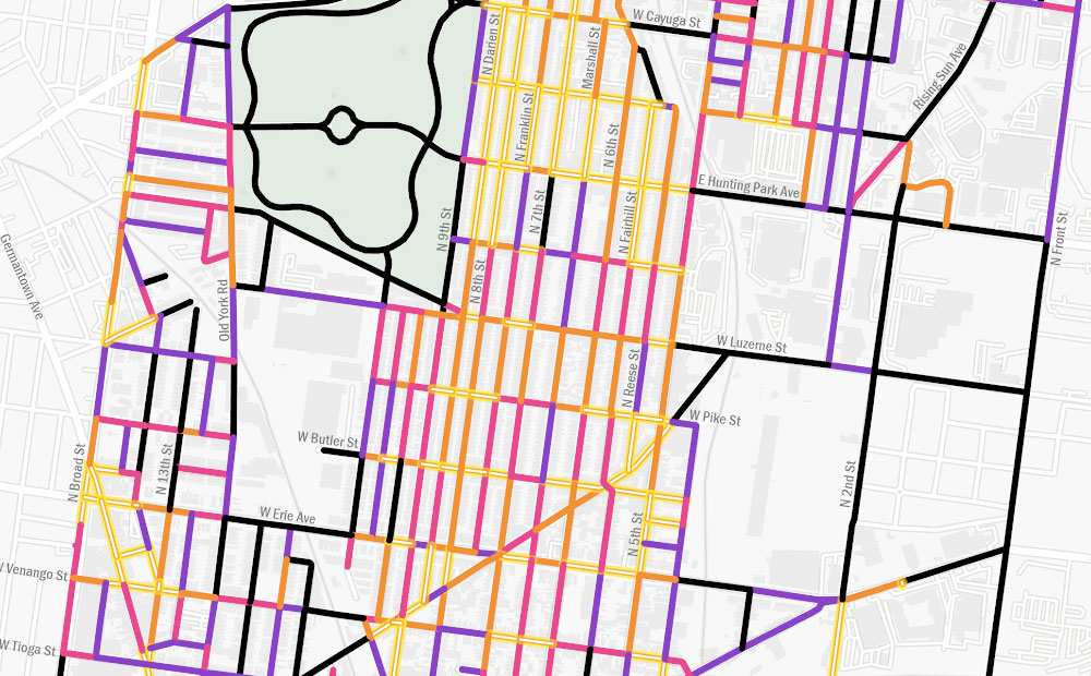
Published at 1000 × 620 in Using GIS to Guide Philadelphia’s First Neighborhood-Level Forestry Plan
Attachment
Published at 1000 × 620 in Using GIS to Guide Philadelphia’s First Neighborhood-Level Forestry Plan