
Our Summer of Maps fellows have been hard at work over the past few months. They recently gave community lightning talks on their work so far, and now they’re finishing up their research and heading back to their partner organizations to share what they’ve learned. Below is a summary of what they’ve accomplished so far.
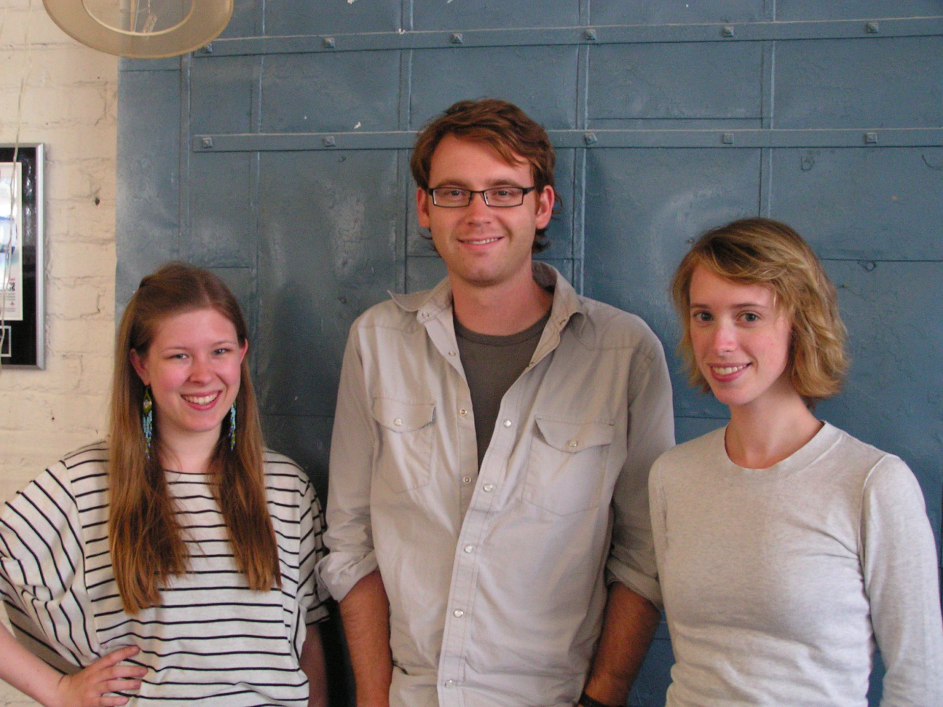
Tyler Dahlberg
Tyler is a first-year graduate student at Clark University in Worcester, Massachusetts earning an M.S. in GIS for Development and the environment, with a focus on GIS and Public Health.
For the Greater Philadelphia Coalition Against Hunger, Tyler located under-served areas in Philadelphia so the Hunger Coalition can help them apply for Supplemental Nutrition Assistance Program (SNAP) benefits. He also created a visualization combining SNAP-eligible populations and public transit so that the Hunger Coalition can improve its awareness campaign to reach those in need.
Tyler is also an avid cyclist interested in improving bicycle infrastructure with GIS, so he was excited to work with the Bicycle Coalition of Greater Philadelphia to produce a web map of bicycle crashes, to investigate relationships between Philadelphia’s geography and bicycle theft, and to create a measure of bicycle activity across the city so the Bicycle Coalition can advocate for improved infrastructure.
The focus on social responsibility and tangible benefits for partner organizations were great drivers for Tyler’s work.
Lena Ferguson
Lena Ferguson recently graduated from Bryn Mawr College as a Growth and Structure of Cities major and Environmental Studies minor, where she studied GIS.
For the Delaware Valley Association for the Education of Young Children (DVAEYC), she analyzed and mapped the availability of quality early childhood programs in Philadelphia in conjunction with the need for such programs, creating a short report with maps for each City Council, House, Senatorial and Congressional district.
For the Sunlight Foundation, she mapped and analyzed trends in Presidential and Congressional campaign contributions from 1990 to 2012. Her analysis included what percentage of contributions goes to Republicans and Democrats in each county and whether the percentage given to Republicans and Democrats is correlated with population density and income. She also analyzed the prevalence of contributions to candidates outside of the donors district.
Lena was thrilled to expand her GIS skill set and confirm her interest in working in the field.
Julia Reeves
Julia is a candidate for a Bachelor of Arts in Growth and Structure of Cities at Haverford College. She worked with the Pennsylvania Horticultural Society (PHS) and Texas Trees Foundation to help maximize the urban tree coverage in Philadelphia and Dallas, respectively.
For PHS, Julia explored urban tree mortality with active and non-active tree tenders as well as the protective influence of the nearby tree canopy on tree success.
For Texas Trees Foundation, she investigated the value of preserving and investing in urban tree coverage. She created a developable land grid and assigned land development suitability ratings in order to identify priority preservation areas. She then developed a spatial model to perform an ecological and economic cost-benefit analysis based on Texas Trees Foundation data.
Having two similarly focused projects enabled Julia to develop a deeper understanding of the urban forestry field. This experience has inspired her to expand her GIS skills through independent research during her final semester at Haverford College, studying environmental and social patterns in urban environments.
Now in its second year, the Azavea Summer of Maps program has become an important resource for non-profits and student GIS analysts alike. Non-profits receive pro bono spatial analysis work that can enhance their business decision-making processes and programmatic activities, while students benefit from Azavea mentors’ experience and expertise. This year, three fellows worked on projects for six organizations that spanned a variety of topics and geographic regions. Our hope is to expand the program to accommodate more students and non-profit organizations nationwide. Have thoughts on how to scale the program or increase its impact? Email us at summerofmaps@azavea.com.
In the meantime, we want to thank our 2013 sponsors Esri and Tri-Co Digital Humanities. Are you interested in getting involved as a sponsor, a student or an organization? Please visit www.summerofmaps.com.